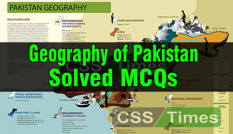
1. The length of Pak-China border is?
(a) 623Km
(b) 527Km
(c) 523 km
(d) 823 km
2. The length of Pak-Afghanistan border is:
(a) 2,330 km
(b) 1,430 km
(c) 2,252 km
(d) 2,430 km
3. The length of Pak-India border is?
(a) 1,912 km
(b) 1800km
(c) 2,612
(d) 2,812km
4. The length of Pakistan-Iran border is?
(a) 709 km
(b) 909 km
(c) 409 km
(d) 809 km
5. The length of coastline of Pakistan is?
(a) 1,748 km
(b) 1,046 km
(c) 1,846km
(d) 1,216 km
6. The depth of Pakistan continental shelf is?
(a) 150 nm
(b) 240 nm
(c) 230 nm
(d) 200 nm
7. The lowest point of the country is _______
(a) Indus plain
(b) Indian Ocean
(c) Cape Monze
(d) None of them
8. Highest Mountain of Pakistan is?
(a) Koh-e-Suleman
(b) K-2
(c) Pamirknot
(d) Gasherbrem
9. The other name of K-2 is?
(a) Godwin Austen
(b) Barura
(c) Killing Mountain
(d) Broad Peak
10. The Height of K-2 is ______
(a) 7,611 ft
(b) 8,677 ft
(c) 9,511 ft
(d) 6,611 ft
11. The highest peak of Karachi Ranges is?
(a) Takht-e-Suleiman
(b) K-2
(c) Gasherbrum
(d) Tirich Mir
12. The area which separate Pakistan from Tajikistan is?
(a) Wakhan
(b) Pamir Knot
(c) Khyber Pass
(d) Himaliyan
13. Total arable land of the country is?
(a) 17%
(b) 29%
(c) 27%
(d) 37%
14. The total area of irrigated land is?
(a) 121,100 sq km
(b) 171, I00 sq km
(c) 151,100 sq km
(d) 161,100 sq km
15. In how many natural regions Pakistan can be divided?
(a) seven
(b) eight
(c) six
(d) twelve
16. The Chinese Province adjoining Pakistan is?
(a) Minkiang
(b) Sinkiang
(c) Shanghai
(d) Ching Chee
17. Diamer-Bhasha Dam has been planned on the river.
(a) Chenab
(b) Sutlej
(c) Indus
(d) Jhelum
18. Mirani Dam is located in.
(a) KPK
(b) Baluchistan
(c) Sindh
(d) Punjab
19. Salt Mine, Khewra is located in _________ district.
(a) DI Khan
(b) Gujrat
(c) Jhelum
(d) DG Khan
20. Which river does not flow from Jammu and Kashmir?
(a) Chenab
(b) Ravi
(c) Indus
(d) Jhelum
21. The Khyber Pass connects Pakistan with ——–
(a) Afghanistan
(b) Iran
(c) South Asia
(d) China
22. The Government of Pakistan established the Indus River System Authority in the year:
(a) 1960
(b) 1970
c) 1980
(d) None of these
23. Under the Indus Water Treaty of 1960 Pakistan has the right to use exclusively the water of:
(a) Ravi, Sutleg and Chenab
(b) Sutleg, Chenab and Jhelum
(c) Chenab, Jhelum and Indus
(d) None of these
24. Rechna and Bari Doabs are considered
(a) thickly populated region
(b) very thickly populated region
(c) most thickly populated region
(d) None of these
25. The height of Pakistan’s highest mountain Pak-Godwin Austin is as high as:
(a) 26, 250 ft
(b) 27, 250 ft
(c) 28, 250 ft
(d) None of these
Leave a Reply