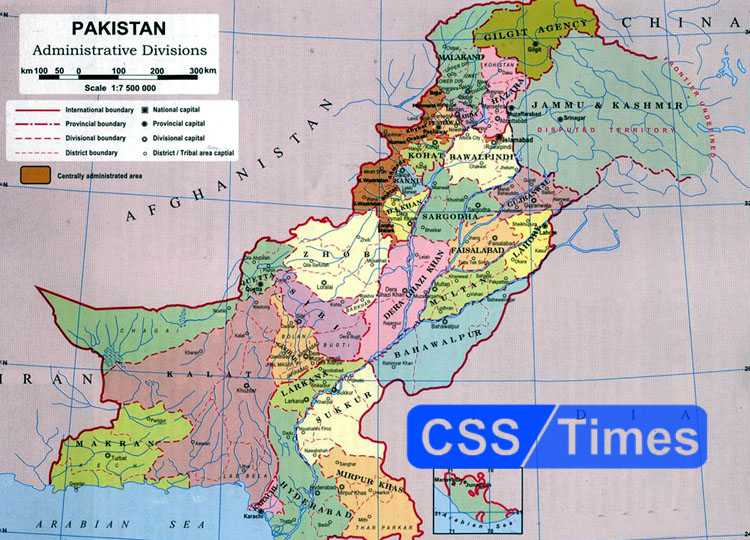
Pakistan-India Border
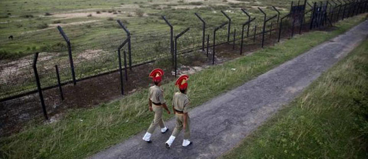
The Radcliffe Line became the official border between Pakistan and India on August 17, 1947. As the border was established by Sir Cyril Radcliffe — the chairman of the Indo-Pakistan Boundary Commission — therefore it was named after him. The Pakistan-India border is almost 2,912 kilometres long. When discussing Indo-Pak border, Wagah is an important place for both countries. It is the only road border crossing between India and Pakistan, and lies on the Grand Trunk Road between the cities of Amritsar and Lahore.
Wagah is also famous for ‘the lowering of the flags’ ceremony which is held there every evening, and is witnessed by a large crowd from both the nations. Wagah is actually a village from which the Radcliffe line was drawn separating India and Pakistan.
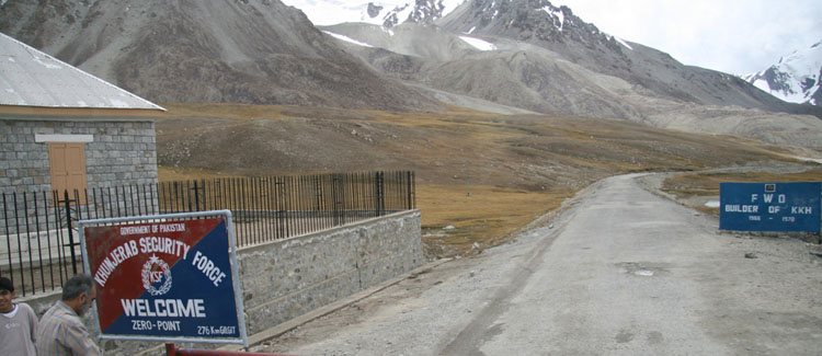
Pakistan-Afghanistan Border
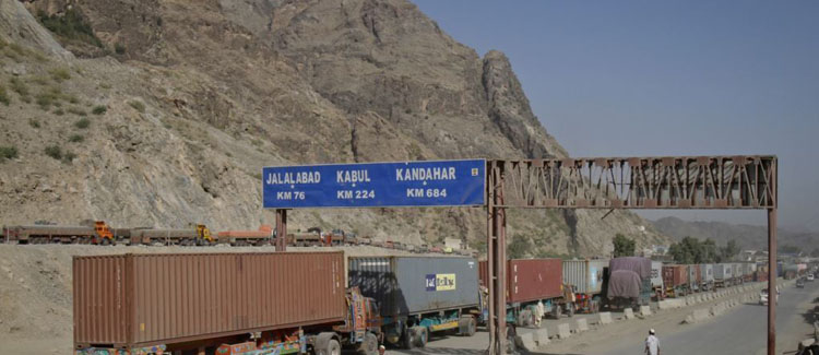
The border between Pakistan and Afghanistan is called as the Durand Line and is 2,430 kilometres long. The border came into existence in November 1893 after an agreement between Afghanistan and the British Empire. The Durand Line got its name from Sir Mortimer Durand, who was the foreign secretary of the British India. He was appointed by the government of British India in Afghanistan to resolve numerous issues — settling the border issue was one of them.
Pakistan-Iran Border
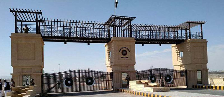
The border between Pakistan and Iran is also called the Pakistan-Iran Barrier and is 909 kilometres long. A concrete wall (three feet thick and 10 feet high) is currently under construction and would replace the bordering fence. The wall holds a controversial position as the people of Balochistan oppose its construction as many of their lands are situated at the Pakistan-Iran border and the wall would create hindrances for them.
Check also: Pakistan Affairs MCQs
The Arabian Sea
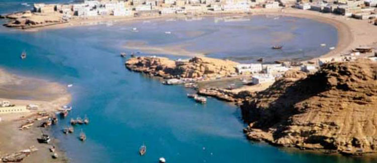
The Arabian Sea is located south of Pakistan with a coastline of 1,046-kilometres. Pakistan’s Indus River drains out in the Arabian Sea. The Arabian Sea also serves as an important trade route between Pakistan and other countries, and Karachi is the major port city for conducting trade.
Importance of Geography of Pakistan in CSS Exams
In the written exam, candidates may be tested on their knowledge of the geography of Pakistan through multiple choice questions or essay questions. Topics that may be covered in the exam include the physical features of the country (such as mountains, rivers, and deserts), the natural resources of Pakistan (such as minerals, water, and arable land), and the economic and political geography of the country (such as major cities, provinces, and international borders).
In the interview, candidates may be asked about the geography of Pakistan as part of a broader discussion about the country’s history, culture, and current affairs. A good understanding of the geography of Pakistan can help candidates to place current events and issues in context and to explain their significance in a more informed way.
Overall, the geography of Pakistan is an important subject for candidates preparing for the CSS exams, as it helps to provide a foundation for understanding the country and its place in the world.
Source: Daily Dawn
2 replies on “Geography of Pakistan: The borders of Pakistan”
what is different between boundryline and border ….